LEVADAS
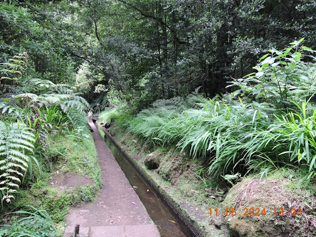
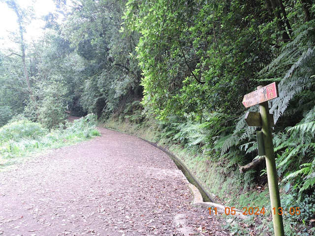
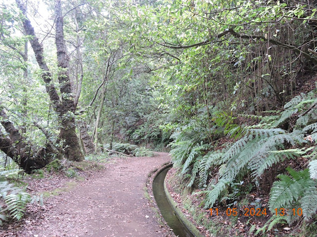
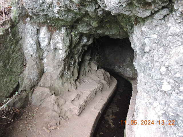
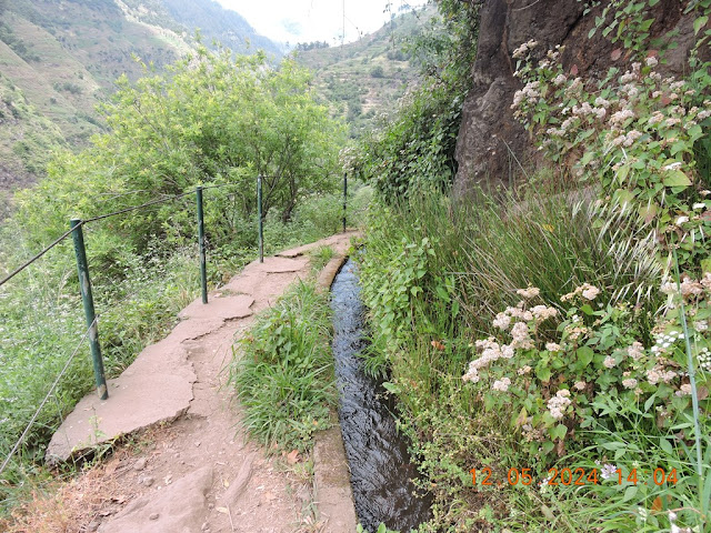
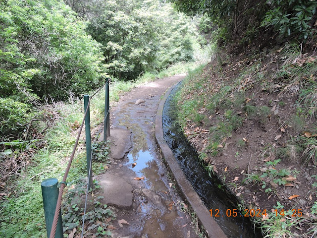
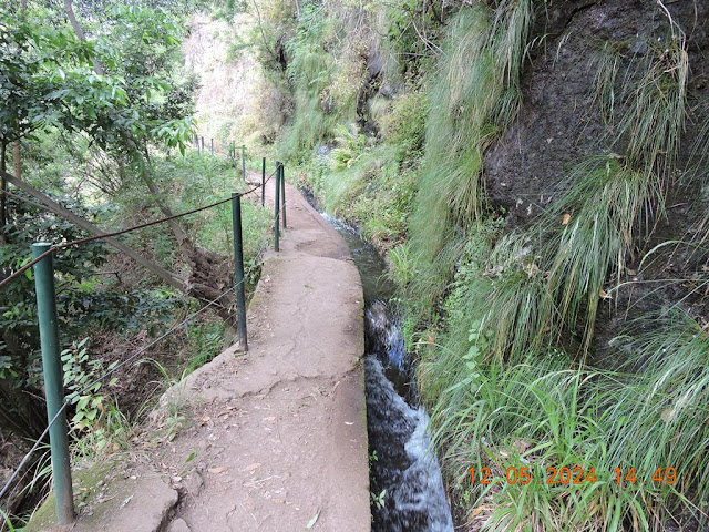
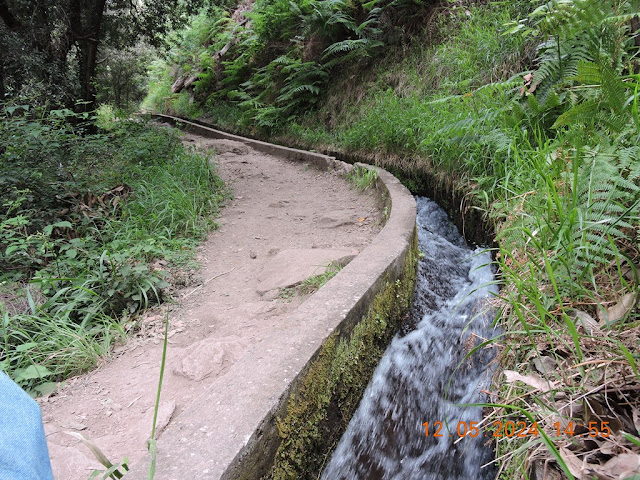
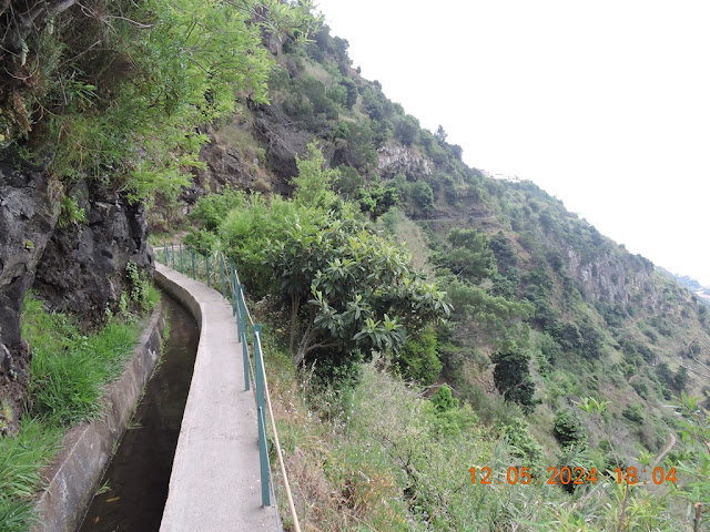
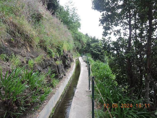
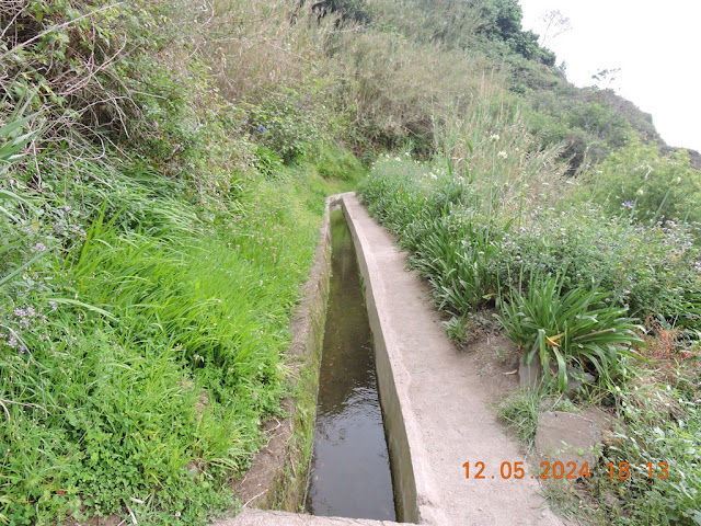
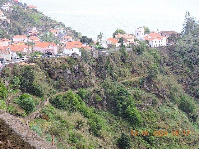
PR 18 - Levada do Rei
PR 18 - Levada do Rei
32.816792, -16.924899
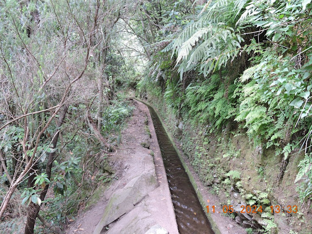
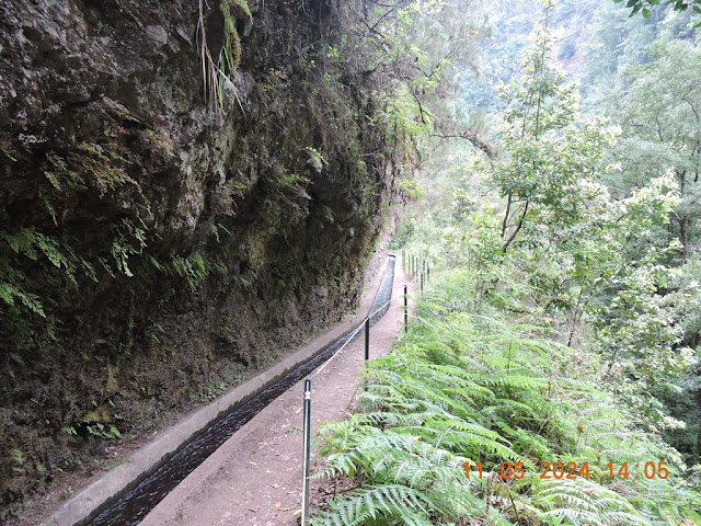
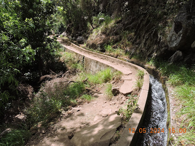
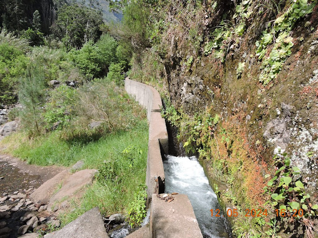
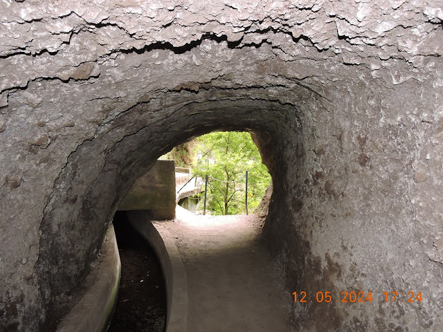
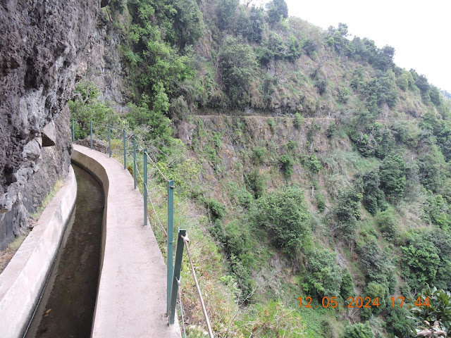
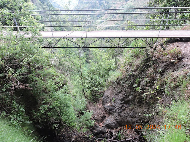
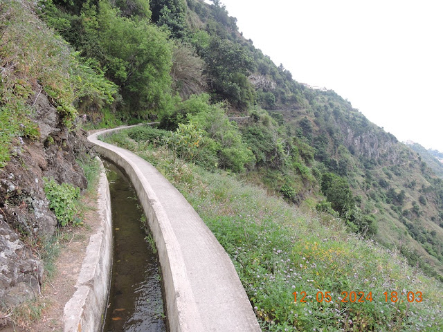
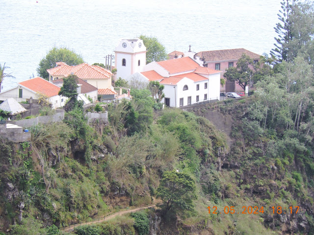
Built to transport water from Ribeiro Bonito to agricultural land in the parish of São Jorge, this levada connects the Quebradas Water Treatment Station, in S. Jorge, to the source of the levada in Ribeiro Bonito. Winding through a beautiful and verdant valley, this levada flows under the canopy of laurel, lemon, and wine trees that abound there. The name Levada do Rei is because this was one of the paths used by the court when the King traveled to the Region.
LEVADA DO MOINHO
32.689446, -17.091401
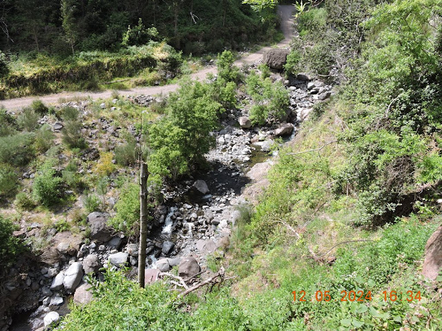
The Levada do Moinho is located in Lombada da Ponta do Sol, a town belonging to the parish of Ponta do Sol and the Municipality of Ponta do Sol.
The route starts right next to the Lombada Church.
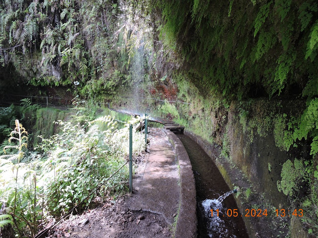
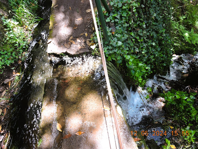
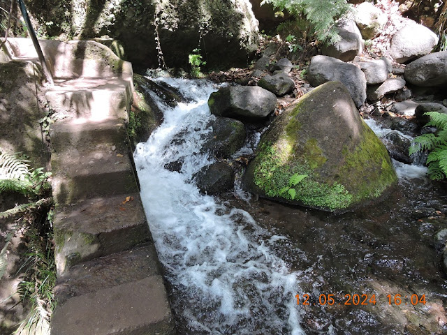
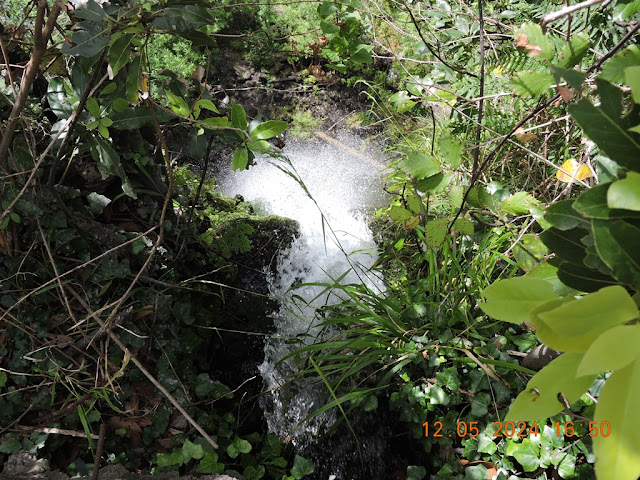
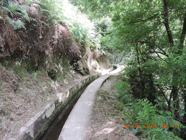
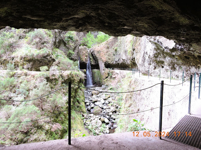
The Levada do Moinho follows the lower slope of a valley. We can see another Levada, the Levada Nova on the upper slope. After passing a waterfall, follow it a little further, until you reach Madre da Levada. Go back about 300 meters and climb a staircase, on your left, which will take you to Levada Nova.
Despite being on the same slope of the valley, Levada Nova is very different from Levada do Moinho. The main charm of this levada is that you pass behind a waterfall and then enter a tunnel. It is a unique landscape. Continue on the Levada until the end. You will find the road that leads to the Church of Lombada.
32.694191, -17.087598
PR 9 - Levada do Caldeirão Verde
Following the levada from Queimadas and walking for approximately 6 km through forest and tunnels excavated in the basalt rock, when you arrive at Caldeirão Verde, enjoy a refreshing breeze and the tinkling sound of water that falls in a trickle through the huge gorge that is Caldeirão Verde.
Distance : 6.5 km (+ 6.5 km return)
Duration: 5h30min
Difficulty: Medium
Max altitude: 980m
Min altitude: 890m
Home: Queimadas Forest Park
End: Queimadas Forest Park
PR 1 - Vereda do Areeiro
Through the Central Mountain Massif, in an area that is part of the Natura 2000 Network, this trail connects the highest peaks on the island. Starting at Pico do Areeiro, this walk extends for several kilometers between climbs to the beautiful peaks that make up the central mountain range, offering unique landscapes where the warm colors of fantastic geomorphology merge with the green of the high-altitude vegetation.
Distance: 7 km or 5.6 km
Duration : 3h30min / 3h
Difficulty: Hard
Max altitude: 1861m
Min altitude: 1542m
Home: Pico do Areeiro Viewpoint
End: Pico Ruivo
Levada do Alecrim & Vereda da Lagoa do Vento (PR 6.2)
P 32.75446, -17.13344 (Levada do Alecrim)
32.760154, -17.121799 (Lagoa do Vento)
One of Madeira's favorite levadas is Levada do Alecrim combined with the Vereda da Lagoa do Vento trail (PR 6.2).
The pedestrian route starts at Miradouro do Rabaçal, similar to what happens with the Levada das 25 Fontes & Levada do Risco. The trail is well marked and is approximately 9 km long (round trip) including the detour to Lagoa do Vento (2 km round trip). If you just want to walk the Levada do Alecrim, you only have 7 km to go.
https://visitmadeira.com/en/what-to-do/nature-seekers/activities/hiking/pr-62-levada-do-alecrim/
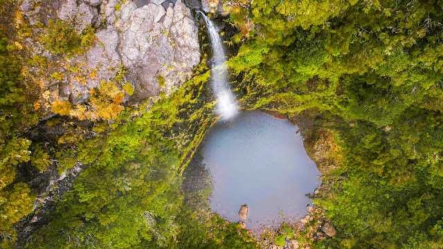
Unlike the route to Levada das 25 Fontes (PR6) & Levada do Risco (PR6.1), in which you will have to go down to Casa de Abrigo do Rabaçal, to visit Levada do Alecrim and Vereda da Lagoa do Vento you will only need to walk a few meters at Miradouro do Rabaçal, turning right shortly after to enter the magnificent heather tunnels that accompany the Levada. At the end of the route, the Dona Beja Waterfall and Lagoon awaits you, a favorite in Madeira, where you can take a refreshing swim.
Just before Lagoa da Dona Beja, you will find the sign that marks the detour to Lagoa do Vento, an authentic slice of paradise in Madeira. It's only 1 km each way, but the difference in level is really steep (you'll have to overcome approximately 170 meters of difference on each side), making it considered a highly difficult section.
Tip: when leaving the lagoon, instead of going up towards Levada do Alecrim you can head towards Casa do Rabaçal via PR 6.3 (it is sometimes closed for maintenance). This way, you can avoid the climb and you can even take the bus that we mentioned above, to return to the parking lot at Miradouro do Rabaçal.
Practical information about Levada do Alecrim and Vereda da Lagoa do Vento
Distance: 9 km
Circular: Yes
Technical Difficulty: Easy (Levada do Alecrim)/
Difficult (Vereda da Lagoa do Vento)Departure/Arrival Location: Miradouro do Rabaçal
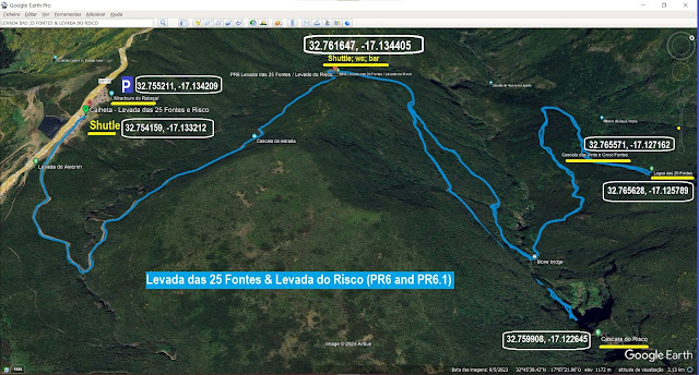
Levada do Risco (PR6.1) & Levada das 25 Fontes (PR6)
32.755138, -17.133879 (Levada do Risco)
32.755102, -17.133879 (Levada das 25 Fontes)
Two of the most beautiful levadas in Madeira are Levada das 25 Fontes and Levada do Risco (PR6 and PR6.1 respectively).
The two routes combined are approximately 11 km long (round trip) and start from Miradouro do Rabaçal in the heart of the Paul da Serra Plateau. From Casa de Abrigo do Rabaçal they always follow parallel paths through the subtropical Laurissilva forest.
1 - In addition to the idyllic beauty of the route, full of lush vegetation, at the end of Levada do Risco you will come across an impressive waterfall, which falls down the rock forming a gigantic risk.
https://visitmadeira.com/en/what-to-do/nature-seekers/activities/hiking/pr-61-levada-do-risco/
https://visitmadeira.com/en/what-to-do/nature-seekers/activities/hiking/pr-6-levada-das-25-fontes/
Tip: the section that connects Miradouro do Rabaçal to Casa de Abrigo do Rabaçal is approximately 2 km long, going downhill on the way there and uphill on the way back. The good news is that you can take a bus, provided by the Municipality of Calheta, and thus save a few kilometers on your legs. Getting there and back costs €5 and a single trip costs €3. We went downhill on foot (it didn't cost anything), but we took the bus at Casa de Abrigo do Rabaçal uphill.
Practical information about Levada das 25 Fontes and Levada do Risco
Distance: 11 km (9 km if you take the bus uphill)
Circular: Yes
Technical Difficulty: Easy/Moderate
Departure/Arrival Location: Miradouro do Rabaçal (or Casa de Abrigo do Rabaçal if you choose to take the bus)
 |
| LEVADA DAS 25 FONTES & LEVADA DO RISCO PARKING & SHUTTLE |
 |
| Shuttle & WC + Bar |
%20AA0.jpg)
INDEX
- MADEIRA ISLANDS
- MADEIRA ISLANDS - ISLANDS, VILLAGES, CITIES AND IN...

- FUNCHAL MUNICIPALITY
- TOUR THROUGH THE CENTER OF FUNCHAL, IN 2024.
- FUNCHAL - GARDENS AND PARKS - (A) SANTA CATARINA ...
- FUNCHAL - GARDENS AND PARKS - (B) MUNICIPAL GARDEN
- FUNCHAL - GARDENS AND PARKS - (C) MADEIRA BOTANIC...
- FUNCHAL - GARDENS AND PARKS - (D) MONTE
- FUNCHAL - TOWN HALL
- THE FUNCHAL CABLE CAR
- FUNCHAL - CHURCHES AND CHAPELS - (A) SÉ (CATHEDRAL)
- FUNCHAL - CHURCHES AND CHAPELS - (B) COLÉGIO CHURCH
- FUNCHAL - CHURCHES AND CHAPELS - (C) - CHURCH OF S...
- FUNCHAL - CHURCHES AND CHAPELS - (D) - CHURCH OF N...
- FUNCHAL - CHURCHES AND CHAPELS - (E) - CHURCH OF N...
- FUNCHAL - WHAT TO DO

- CÂMARA DE LOBOS MUNICIPALITY
- Must-see attractions

- 💝💝 CABO GIRÃO - PARISH OF QUINTA GRANDE
- 🌞🌞🌞 💝💝 PARISH OF CÂMARA DE LOBOS (MUNICIPA...
- 💝💝 PICO DA TORRE - PARISH OF CÂMARA DE LOBOS
- 💝💝 EIRA DO SERRADO - PARISH OF CURRAL DAS FREIRAS
- Municipality and Parishes

- CÂMARA DE LOBOS MUNICIPALITY AND PARISHES - WHAT T...
- 🌞🌞🌞 💝💝 PARISH OF CÂMARA DE LOBOS (MUNICIPA...
- 🌞🌞🌞 💝💝 PARISH OF CURRAL DAS FREIRAS (MUNIC...
- 🌞🌞🌞 💝💝 PARISH OF ESTREITO DE CÂMARA DE LOB...
- 🌞🌞🌞 💝💝 PARISH OF JARDIM DA SERRA (MUNICIPA...
- 🌞🌞🌞 💝💝 PARISH OF QUINTA GRANDE (MUNICIPALI...
- RIBEIRA BRAVA MUNICIPALITY
- Must-see attractions

- 🔔🔔🔔💗💗💗 PARISH OF RIBEIRA BRAVA (RIBEIRA BRAV...
- Municipality and Parishes
- RIBEIRA BRAVA MUNICIPALITY (MADEIRA ISLAND) - INDEX
- 🔔🔔🔔💗💗💗 PARISH OF RIBEIRA BRAVA (RIBEIRA BRAV...
- 🔔🔔🔔💗💗💗 PARISH OF TÁBUA (RIBEIRA BRAVA MUNICI...
- 🔔🔔🔔💗💗💗 PARISH OF CAMPANÁRIO (RIBEIRA BRAVA M...
- 🔔🔔🔔💗💗💗 PARISH OF SERRA DE ÁGUA (RIBEIRA BRAV...

- PONTA DO SOL MUNICIPALITY
- Must-see attractions

- ** ** 💝💝💝 LEVADA DO MOINHO - PARISH OF PONTA ...
- ** ** 💝💝💝 LEVADA NOVA - PARISH OF PONTA DO SO...
- ** 🌞 PARISH OF PONTA DO SOL (PONTA DO SOL MUNIC...
- Municipality and Parishes
- PONTA DO SOL MUNICIPALITY AND PARISHES - WHAT TO ...
- ** 🌞 PARISH OF PONTA DO SOL (PONTA DO SOL MUNIC...
- ** 🌞 PARISH OF MADALENA DO MAR (PONTA DO SOL MU...
- ** 🌞 PARISH OF CANHAS (PONTA DO SOL MUNICIPALITY)

- CALHETA MUNICIPALITY
- Must-see attractions

- ** 💪💪💪💪💪💪 LEVADA DAS 25 FONTES - MUNICIPA...
- 😍😍 💝💝 PARISH OF CALHETA (MUNICIPALITY OF CALH...
- Municipality and Parishes
- CALHETA MUNICIPALITY AND PARISHES - WHAT TO DO AND...
- 😍😍 💝💝 PARISH OF CALHETA (MUNICIPALITY OF CALH...
- 😍😍 💝💝 PARISH OF ARCO DA CALHETA (MUNICIPALITY...
- 😍😍 💝💝 PARISH OF JARDIM DO MAR (MUNICIPALITY O...
- 😍😍 💝💝 PARISH OF PAUL DO MAR (MUNICIPALITY OF ...
- 😍😍 💝💝 PARISH OF PRAZERES (MUNICIPALITY OF CAL...
- 😍😍 💝💝 PARISH OF PONTA DO PARGO (MUNICIPALITY ...
- 😍😍 💝💝 PARISH OF FAJÃ DA OVELHA (MUNICIPALITY ...
- 😍😍 💝💝 PARISH OF ESTREITO DA CALHETA (MUNICIPA...

- PORTO MONIZ MUNICIPALITY
- Must-see attractions

- 💟💟VÉU DA NOIVA VIEWPOINT (SEIXAL PARISH - PORTO ...
- 💟💟ISLETS OF RIBEIRA DA JANELA (RIBEIRA DA JANELA...
- 💟💟 SANTINHA VIEWPOINT + SANTA (PORTO MONIZ PARIS...
- 😲😲😲💟💟 PARISH OF PORTO MONIZ (MUNICIPALITY OF ...
- Municipality and Parishes
- PORTO MONIZ MUNICIPALITY (MADEIRA ISLAND) - INDEX
- 😲😲😲💟💟 PARISH OF PORTO MONIZ (MUNICIPALITY OF ...
- 😲😲😲💟💟 PARISH OF SEIXAL (MUNICIPALITY OF PORTO...
- 😲😲😲💟💟 PARISH OF RIBEIRA DA JANELA (MUNICIPALI...
- 😲😲😲💟💟 PARISH OF ACHADAS DA CRUZ (MUNICIPALITY...

- SÃO VICENTE MUNICIPALITY
- Municipality and Parishes
- SÃO VICENTE MUNICIPALITY (MADEIRA ISLAND) - INDEX
- 🌞🌞🌞💟💟 PARISH OF SÃO VICENTE (SÃO VICENTE MUNI...
- 🌞🌞🌞💟💟 PARISH OF BOAVENTURA (SÃO VICENTE MUNIC...
- 🌞🌞🌞💟💟 PARISH OF PONTA DELGADA (SÃO VICENTE MU...
- 💟💟SÃO VICENTE BEACH (SÃO VICENTE PARISH AND MUNI...
- 💟💟PONTA DELGADA BATHING COMPLEX (PONTA DELGADA P...
- 💟💟ÁGUA D'ALTO WATERFALL - (SÃO VICENTE PARISH AN
- SANTANA MUNICIPALITY
- Must-see attractions

- ** 💪💪💪💪💪💪 LEVADA DO REI - PARISH OF SÃO J...
- ** 💪💪💪💪💪💪 LEVADA DO CALDEIRÃO VERDE - PAR...
- ** 💪💪💪💪💪💪 PICO RUIVO - PARISH OF FAIAL (S...
- ** 👪👪👪👪👪 👪 VEREDA DOS BALCÕES - PARISH OF...
- ** 👪👪👪👪👪 👪 RIBEIRO FRIO FOREST PARK & AQ...
- ** 👪👪👪👪👪 👪 GUINDASTE VIEWPOINT - PARISH O...
- 😍😍 PARISH OF SANTANA (SANTANA MUNICIPALITY)
- Municipality and Parishes
- SANTANA MUNICIPALITY AND PARISHES - WHAT TO DO AND...
- 😍😍 PARISH OF SANTANA (SANTANA MUNICIPALITY)
- 😍😍 PARISH OF SÃO JORGE (SANTANA MUNICIPALITY)
- 😍😍 PARISH OF FAIAL (SANTANA MUNICIPALITY)
- 😍😍 PARISH OF SÃO ROQUE DO FAIAL (SANTANA MUNICI...
- 😍😍 PARISH OF ARCO DE SÃO JORGE (MUNICIPALITY OF...
- 😍😍 PARISH OF ILHA (SANTANA MUNICIPALITY)


- MACHICO MUNICIPALITY
- Must-see attractions

- ** 💪💪💪💪💪💪 VEREDA DA PONTA DE SÃO LOURENÇO...
- ** 👪👪👪👪👪 👪 PONTA DO ROSTO VIEWPOINT & CAN...
- ** 👪👪👪👪👪 👪 FRANCISCO ÁLVARES NÓBREGA VIEW...
- ** 👪👪👪👪👪 👪 PICO DO FACHO VIEWPOINT - PARI...
- Municipality and Parishes
- MACHICO MUNICIPALITY AND PARISHES - WHAT TO DO AND...
- ** 😃 PARISH OF MACHICO (MACHICO MUNICIPALITY)
- ** 😃 PARISH OF CANIÇAL (MACHICO MUNICIPALITY)
- ** 😃 PARISH OF PORTO DA CRUZ (MACHICO MUNICIPAL...
- ** 😃 PARISH OF SANTO ANTÓNIO DA SERRA (MACHICO MU...
- ** 😃 PARISH OF ÁGUA DE PENA (MACHICO MUNICIPALITY)

- SANTA CRUZ MUNICIPALITY
- Must-see attractions

- 💝💝 CRISTO REI VIEWPOINT + GARAJAU BEACH - (CANI...
- 😎😎😎💝💝 PARISH OF SANTA CRUZ (SANTA CRUZ MUNIC...
- Municipality and Parishes
- SANTA CRUZ MUNICIPALITY (MADEIRA ISLAND) - INDEX
- 😎😎😎💝💝 PARISH OF SANTA CRUZ (SANTA CRUZ MUNIC...
- 😎😎😎💝💝 PARISH OF CANIÇO (SANTA CRUZ MUNICIPAL...
- 😎😎😎💝💝 PARISH OF SANTO ANTÓNIO DA SERRA (SANT...
- 😎😎😎💝💝 PARISH OF GAULA (SANTA CRUZ MUNICIPALITY)
- 😎😎😎💝💝 PARISH OF CAMACHA (SANTA CRUZ MUNICIPA...

- PORTO SANTO ISLAND
- PORTO SANTO ISLAND

- LEVADAS, VEREDAS & PICOS
- Must-see attractions
- LEVADAS, VEREDAS & PICOS

INDEX
Search in São Miguel Island & Azores
INDEX
Search in São Miguel Island & Azores






























































No comments:
Post a Comment